GeoPulse
Services

Thecompletesubsurfacetoolkit.

Six disciplines deployed by experienced field crews and senior interpreters — each survey scoped to the engineering question that matters.

01 / Surface Imaging

Ground Penetrating Radar

High-resolution electromagnetic imaging of the shallow subsurface for utility, concrete and pavement investigations.

Ground Penetrating Radar
Applications
  • Underground utility detection
  • Utility mapping
  • Concrete scanning
  • Rebar detection
  • Pavement investigations
  • Shallow anomaly detection
02 / Subsurface Profiling

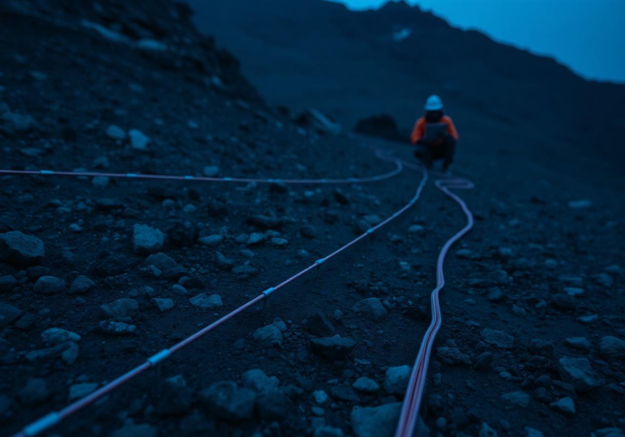
Electrical Resistivity Tomography

2D and 3D resistivity imaging to map geological formations, groundwater and voids at depth.

Electrical Resistivity Tomography
Applications
  • Geological profiling
  • Groundwater investigations
  • Cavity and sinkhole detection
  • Hydrogeological mapping
  • Rockhead mapping
  • Environmental assessments
03 / Seismic

Multichannel Analysis of Surface Waves

Shear-wave velocity profiling for site classification, dynamic soil characterization and seismic response.

Multichannel Analysis of Surface Waves
Applications
  • Shear-wave velocity profiling
  • Site classification (Vs30)
  • Seismic site response studies
  • Dynamic soil characterization
04 / Borehole Geophysics

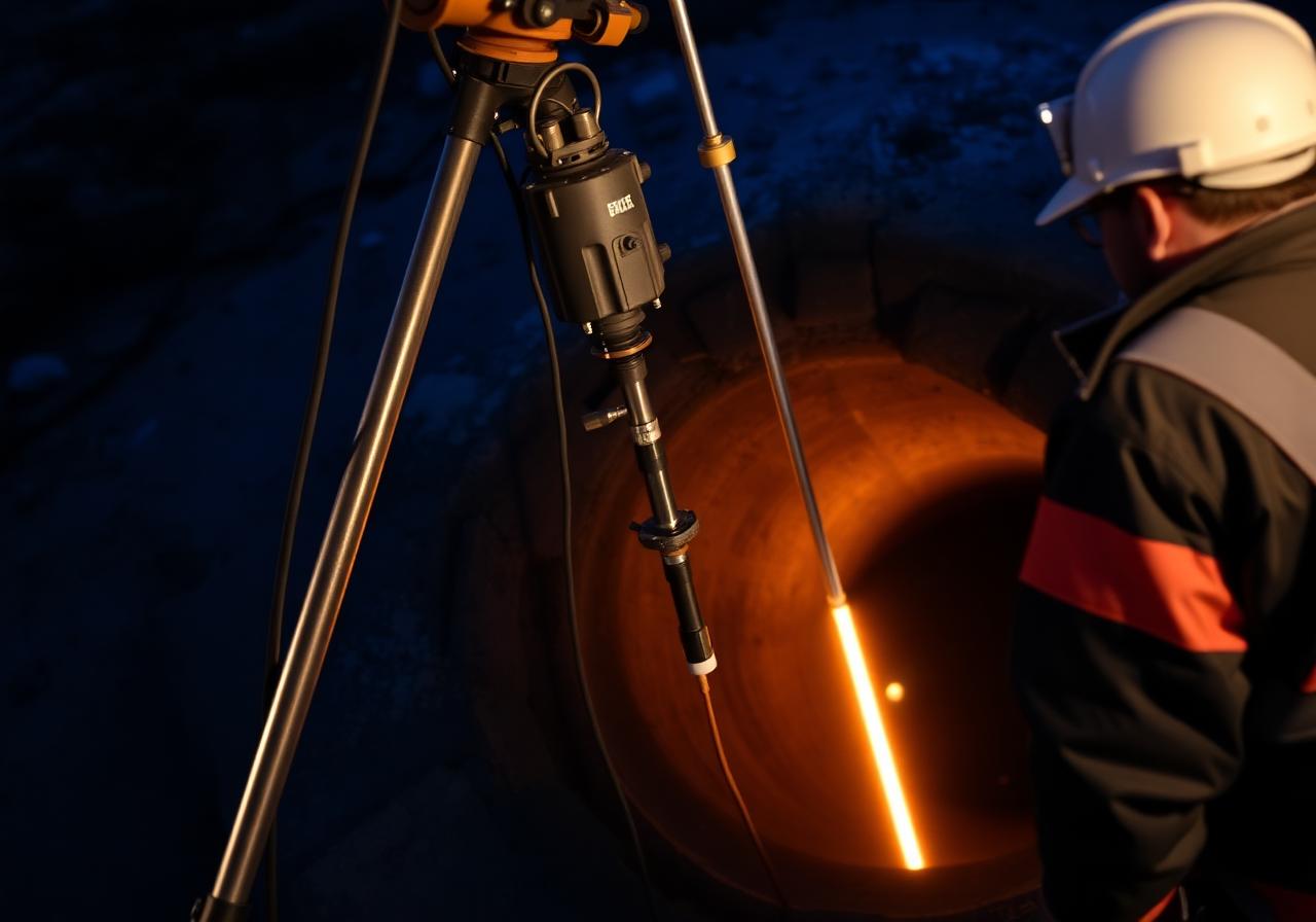
Downhole Seismic Testing

Direct in-situ P-wave and S-wave velocity measurements for foundation and seismic design parameters.

Downhole Seismic Testing
Applications
  • P-wave & S-wave velocity measurements
  • Dynamic soil property evaluation
  • Seismic design parameters
  • Foundation investigations
05 / Borehole Geophysics

PS Suspension Logging

Detailed velocity profiling through boreholes for geotechnical, seismic hazard and site classification studies.

PS Suspension Logging
Applications
  • Detailed velocity profiling
  • Elastic soil & rock parameters
  • Seismic hazard assessments
  • Site classification studies
06 / Field Studies

Geological Services

Engineering geological investigations, mapping and rock-mass characterization for safe project delivery.

Geological Services
Applications
  • Engineering geological studies
  • Geological mapping
  • Rock mass characterization
  • Geological hazard assessment
  • Geotechnical interpretation support
  • Subsurface geological modeling